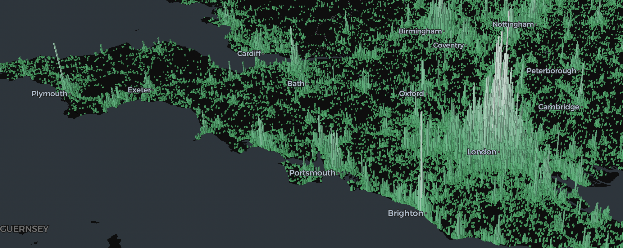
A5 is an open-source, next-generation hierarchical spatial index for geospatial data. It enables fast, scalable, and precise spatial analytics by dividing the world into a grid of pentagonal cells at multiple resolutions. A5 cells have equal area, minimal distortion, and are well-suited for spatial analysis and aggregation.
Learn more at a5geo.org.
Download the latest release of the extension as a zip package:
Then, follow the instructions in the CARTO Workflows documentation to upload and install the extension in your environment.
